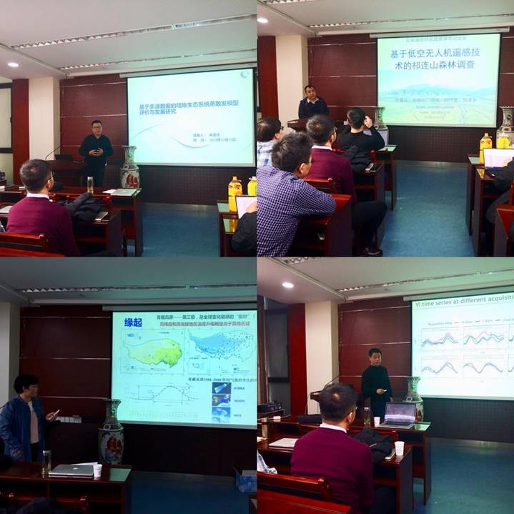
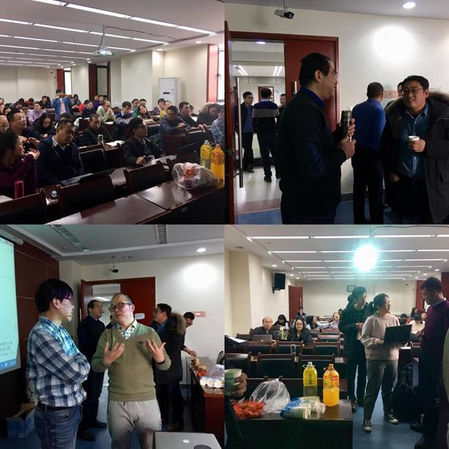
Quantitative remote sensing refers to techniques and methods for quantitative extracting of surface parameters from observed land surface electromagnetic wave signals. On December 13, 2019, the "Quantitative Remote Sensing Research Progress Symposium" was held successfully by the Institute of Remote Sensing and Geographic Information System, College of Earth and Environmental Sciences in the lecture room 1615, Guanyun Building.

Eight teachers at the symposium shared their latest research progress in quantitative remote sensing and related applications. They were Gao Sicong from the University of Technology Sydney, Australia, and young teachers Wu Xiaodan, Liu Lei, Bi Jian, Zhu Gaofeng, Nian Yanyun, Wang Xiaoyun and Ma Xuanlong from Lanzhou University. These reports cover research in various fields such as quantitative remote sensing of vegetation and atmosphere, authenticity inspection of remote sensing products, remote sensing applications of drones, land evapotranspiration estimation, and global saturated water vapor pressure difference data evaluation.
The participants of thissymposium are from Lanzhou University, Northwest Normal University, Lanzhou Jiaotong University, and Northwest Institute of Eco-Environmental Resources, Chinese Academy Sciences. The latest research results in the field of quantitative remote sensing of the college are concentratedly displayed in the Symposium, which also promoted cooperation among research groups from different research institutes.
