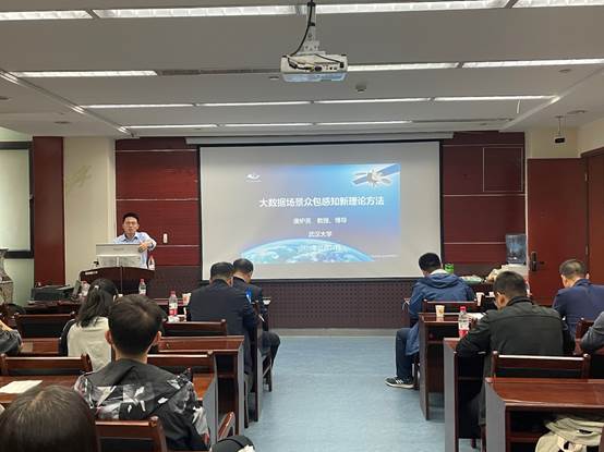
At the invitation of the Department of Geography, College of Earth and Environmental Sciences, Lanzhou University, Professor Tang Luliang from Wuhan University came to our school for academic exchange on September 22. On the afternoon of September 22, Professor Tang Luliang made an academic report on "New Theoretical Method of Crowdsourcing Perception in Big Data Scene" in conference room 1615 of Guanyun Building, Chengguan Campus. The report was chaired by Professor Geng Haopeng of the College of Earth and Environmental Sciences. Some teachers, graduate students and undergraduates of the Department of Geography of the College of Earth and Environmental Sciences listened to the report.

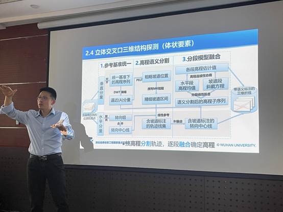
Professor Tang Luliang's report mainly introduced the research progress of high-spatio-temporal precision scene data and scene perception technology. Big data and scene crowdsourcing perception are key technical support and core strategic resources such as smart city, intelligent transportation and information warfare. In this report, Professor Tang Luliang showed a framework of "action and influenza knowledge": in this era of big data, to perceive the layout pattern of this modern facility, the elements of point, line, surface and body, and at the same time to perceive the flow of people, traffic and logistics formed by the movement of people, vehicles and objects. Subsequently, Professor Tang Luliang also showed the application of scene data in urban intelligent transportation: such as dynamic monitoring of intersection traffic turning and passing time, fine perception and traffic prediction. By combining offline data and online data analysis, human activities and traffic conditions in the city can be sensed and analyzed in real-time. This method can provide strong support for urban transportation planning and facility management. After the report, the teachers and students actively asked questions and had a heated discussion with Mr. Tang.

Expert Profile:
Tang Luliang, second-level professor and doctoral supervisor of Wuhan University, national "Ten thousand People Plan" scientific and technological innovation leading talent, chief of national high score major special project, Hunan Huxiang high-level talent, Hunan Furong Scholar, China Optical Valley Innovation talent, Chinese university GIS innovation figure, Huawei Map chief science and technology consultant, deputy director of the Engineering Center of Space-time Data Intelligent Acquisition and Application of the Ministry of Education. He is an academic member of Hunan Provincial Key Laboratory of Surveying, Mapping and Remote Sensing, a member of the Technical Committee of the Engineering Center for Intelligent Acquisition and Application of Spatiotemporal Data of the Ministry of Education, a member of China GIS Theory and Method Committee, a member of China LiDAR Professional Committee, a member of China Smart City Industry Committee, a member of China Urban Spatial Information Committee, a science and technology Special Commissioner of Guangdong Province, and the SCI journal Applied Science guest editor, Journal of Surveying and Mapping Guest deputy editor, Geography and Geographic Information Science editorial board member. Presided over the completion of more than 30 national high score major projects, watershed safety monitoring major projects, "13" common technology pre-research, equipment pre-research, National Natural Science Foundation, Huawei and other science and technology research projects, published more than 120 SCI/SSCI papers (more than 30 top journal papers), authorized 18 patents, won the Ministry of Education science and technology progress award 3. 7 provincial and ministerial awards, including the first prize of Natural Science of the Ministry of Education, 2 first prizes of China Surveying and Mapping Science and Technology Progress, and the first prize of China Electric Power Innovation Technology.